
Ciencia · English · SIG · Vigia
Vigía: How NASA Data Is Helping Small Colombian Towns See Their Own Risk
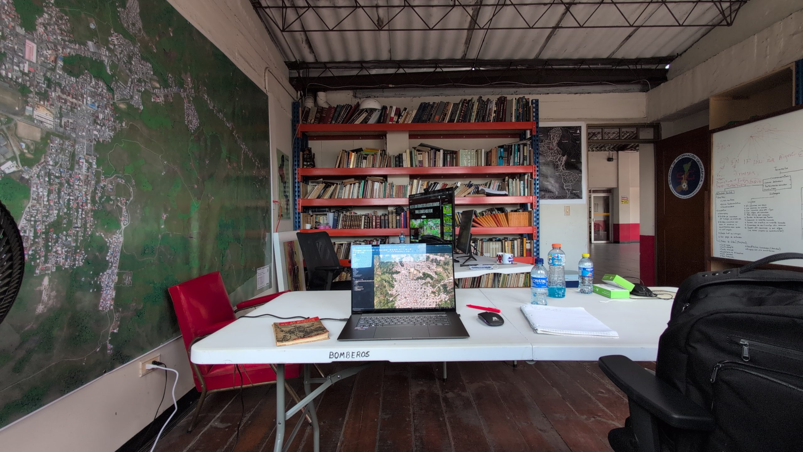
Most of the world’s disaster risk tools are built for capitals and big cities. Yet the places that suffer most from extreme weather, earthquakes, and other natural disasters are often small rural municipalities in the hills and valleys, where a planning office may have two staff and no budget for satellite imagery, or worse, no knowledge about how to use it. Vigía, a platform developed by RED LabOT as part of the NASA Lifelines community, was built for exactly those places. It shows what’s possible when NASA’s open Earth data reaches a rural town hall in a form its staff can use that same afternoon.
Three towns, one live risk picture
Vigía covers Sevilla, Caicedonia and Zarzal, three coffee-growing municipalities in Colombia’s Valle del Cauca with about 118,000 residents between them. It tracks landslides, floods, wildfires, rainfall and earthquakes, and combines them into a single multi-hazard picture for every rural district. Each hazard is mapped at the district level and crossed with what matters most to local government: how many people live there, how many are children under five or adults over sixty, how many are women, and which schools, health centers, and pharmacies sit in the highest-hazard zones.
Anyone can open it in a browser, in Spanish, with no login and no cost. A resident can pick her district, see all the hazards on her own land, and download the map as a PDF. A planner can click on a district and read a plain-language report with a recommended action level and an explanation of how the result was computed. Nothing is hidden behind a consultant’s desk.
NASA data at the core
What makes Vigía possible is the depth of open Earth observation now available through NASA and its partners. The platform pulls soil moisture from SMAP, rainfall rates from GPM IMERG, daily precipitation from NASA POWER, and active fire detections from the VIIRS instruments through FIRMS, all in near real time. It adds the fire weather index from Europe’s Copernicus programme and river flow forecasts from the GEOGLOWS system, and it grounds everything in Colombian sources: fault lines and past landslides from the national geological survey, live seismic events, official population projections and community damage reports gathered after the earthquake of August 10, 2026.
The landslide model follows the structure of NASA’s own LHASA framework, which combines the stable features of the terrain, such as slope, roads, faults, and past failures, with a live rainfall trigger that asks whether recent rain is unusual for this time of year in this particular place. A moderate storm in a normally dry month can therefore raise the alert more than the same storm in the wet season. This is NASA science, translated to the scale of a vereda (rural village).
Built to be open and transparent
Vigía is deliberately open about its limits. Its documentation explains every data source, every weight and every threshold, and states clearly that the models have not yet been calibrated against landslides that actually occurred locally. It describes itself as a decision-support and learning tool, not an official early-warning system. That honesty is part of the design. A model whose assumptions are visible can be discussed in a municipal council, improved by a university partner and taught to the next generation of local technicians, which is precisely what RED LabOT is now doing.
Why rural and semi-urban resilience matters
Sevilla learned the cost of blind spots the hard way. When the earthquake struck in August 2026, it destroyed the town hall and hundreds of homes, on a territory whose fragility had been known since the Armenia earthquake of 1999. The municipal risk plan had not been updated in a decade. In the weeks that followed, RED LabOT, Universidad del Valle, and the town’s volunteer fire brigade built a damage information system that mapped more than a thousand affected structures, and Vigía, already online, gave responders and planners a shared view of the remaining hazards.
This is what NASA Lifelines is about: moving Earth science from research papers into the hands of people responsible for lives and livelihoods in places that global systems tend to overlook. Rural and semi-urban municipalities hold a large share of Latin America’s exposed communities, and they are usually the last to receive risk information. Vigía shows that with open data, open tools and a committed local alliance, disaster risk management is possible everywhere.
A method that travels
Because most of Vigía’s inputs come from global NASA and Copernicus services, replicating it elsewhere mostly means swapping in a country’s own geological, statistical, and hydrological layers. RED LabOT is now using the platform as a live laboratory in regional training programmes, so that municipal technicians across Latin America can learn to build the same picture for their own towns.
Vigía is free to use at vigia.redlabot.org. Its code is public for review, with an open-source release planned as the models mature.
Comentarios
Cargando comentarios…
Deja un comentario
Tu comentario se revisará antes de publicarse. Tu correo no se mostrará públicamente.